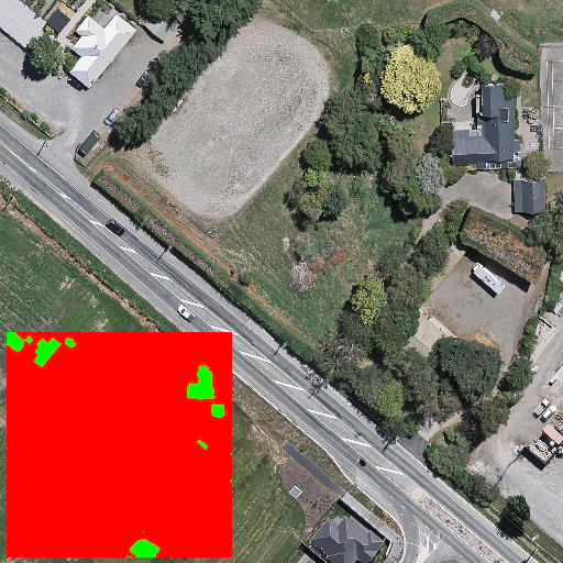
Terrain Segmentation
Analyze satellite images to automatically identify and classify different terrain types such as buildings, roads, vegetation, and water bodies. This AI model processes aerial photography to create detailed terrain maps.
View Project
YouTube Summary
Automatically summarize YouTube videos to extract key points, topics, and insights. Get quick overviews of video content without watching the entire video.
View Project
ChatBot
Under construction